Transit and transport
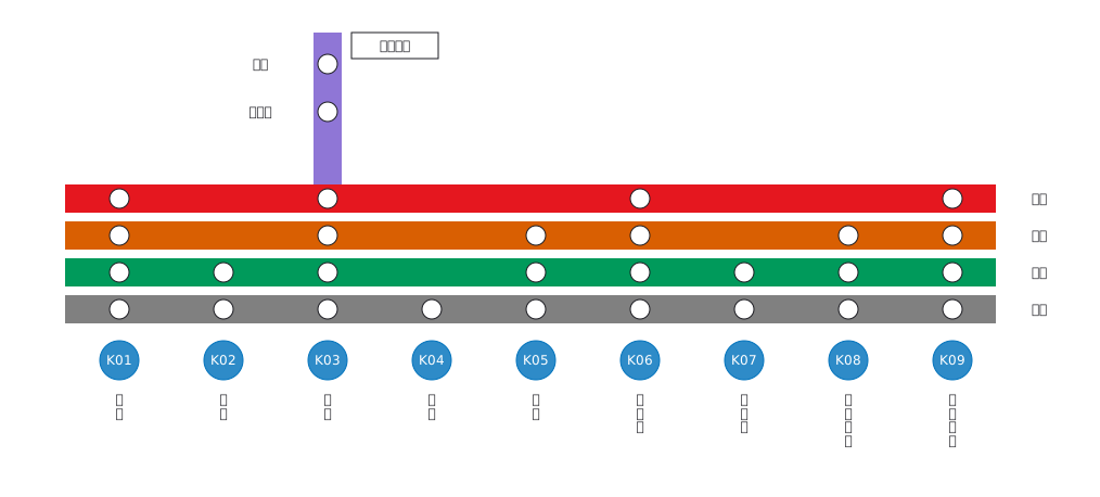
Fictional railway main line interchange guide (K01 Minatomachi to K09 Kaihin Park)
Interchange guide with station names set vertically
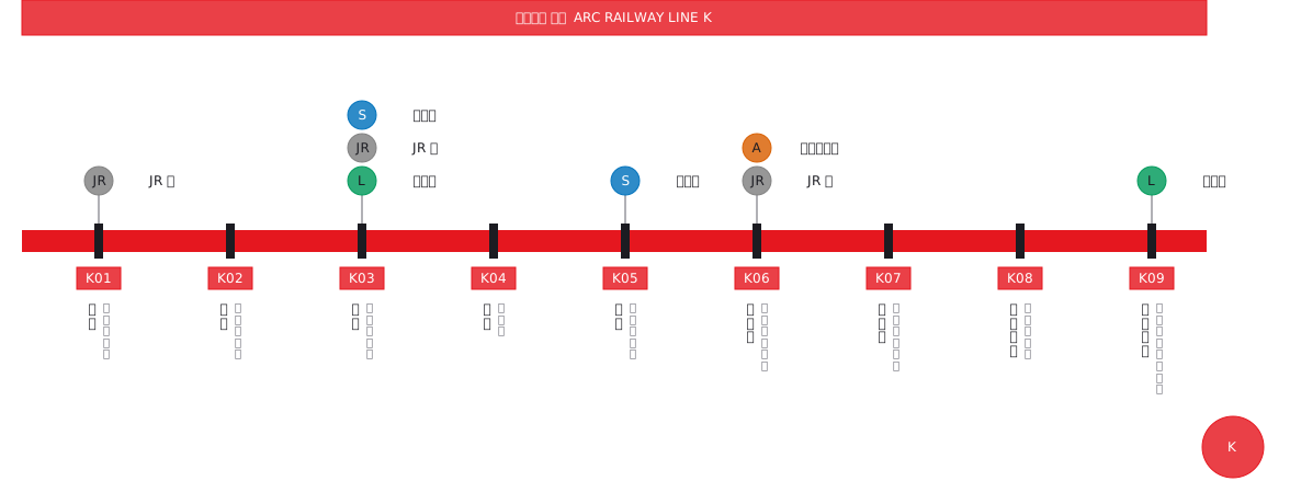
This drawing comes from one YAML file. No shape was moved by hand.
Notes in the source (in Japanese)
1 本の路線をまっすぐ伸ばして、駅・駅ナンバリング・のりかえを 1 枚に並べた図。駅名は縦組み(write: down)—— 駅の間隔を詰めても隣の名前とぶつからない。ふりがなは右の列、字を 1 つずつ積む。ラテン文字を書けば寝る。
色は路線の名前そのもの(DESIGN.md §7 の例外・src/palette.ts)。色だけに頼らせない —— 駅ナンバリングの K と、のりかえの線名が文字で出ている。
Source (YAML)
examples/gallery/54-のりかえ案内図.zumen.yaml
More in this field
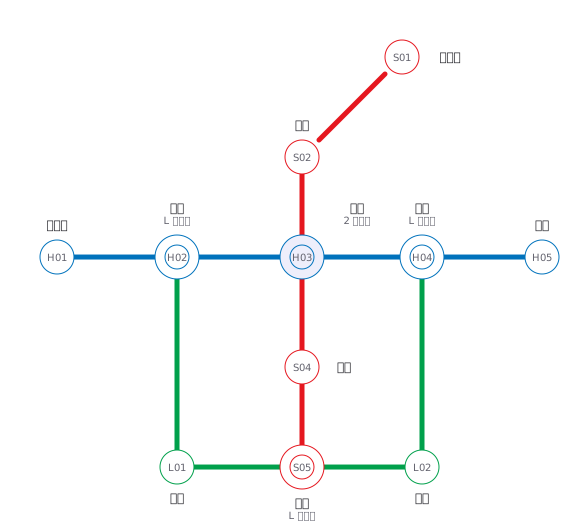 A fictional transit map of three lines told apart by colour and station numbering, drawn only in horizontal, vertical and 45° segments, with interchange stations marked by a double circle
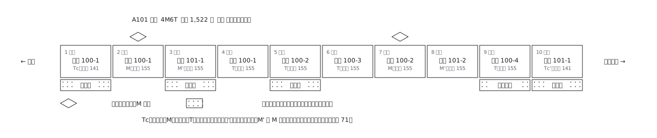 A ten-car commuter train set out car by car: which are motored and which are trailers, where the pantographs are, and what each car carries inside
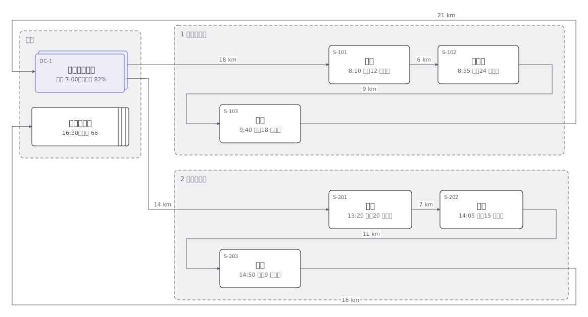 Delivery rounds for one two-tonne van split into a morning and an afternoon run: the order of calls and the stops themselves
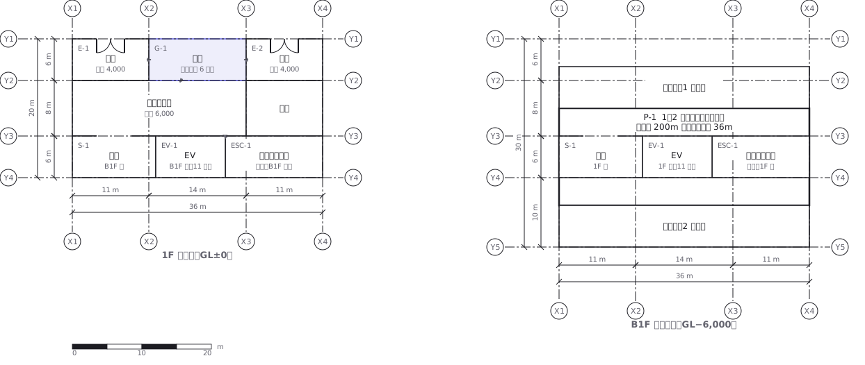 A station on two levels — ground floor and concourse — showing how the gates, stairs, lifts and exits line up with each other
 Stopping pattern chart: a band per service, a circle per stop
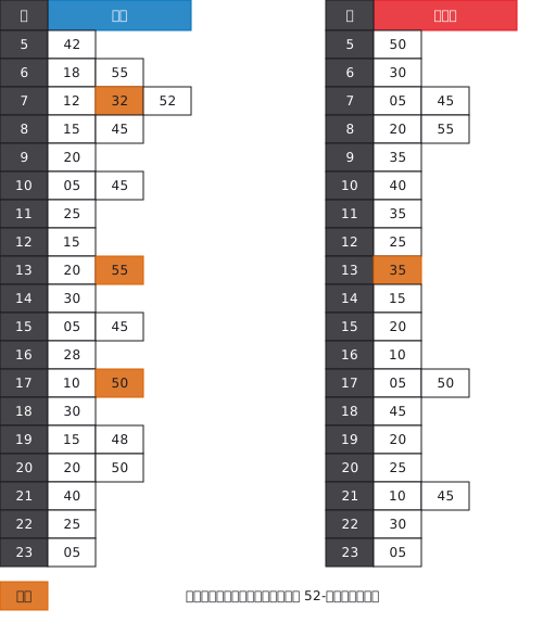 A station timetable with hours down the side and minutes across, weekday and weekend separated, and train types shown by symbol
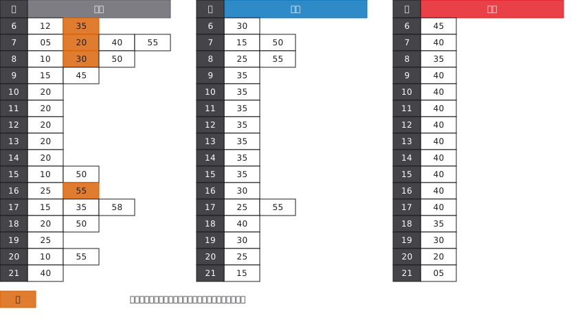 A bus stop timetable in three columns — weekday, Saturday, Sunday and holiday — with the departure minutes listed under each hour
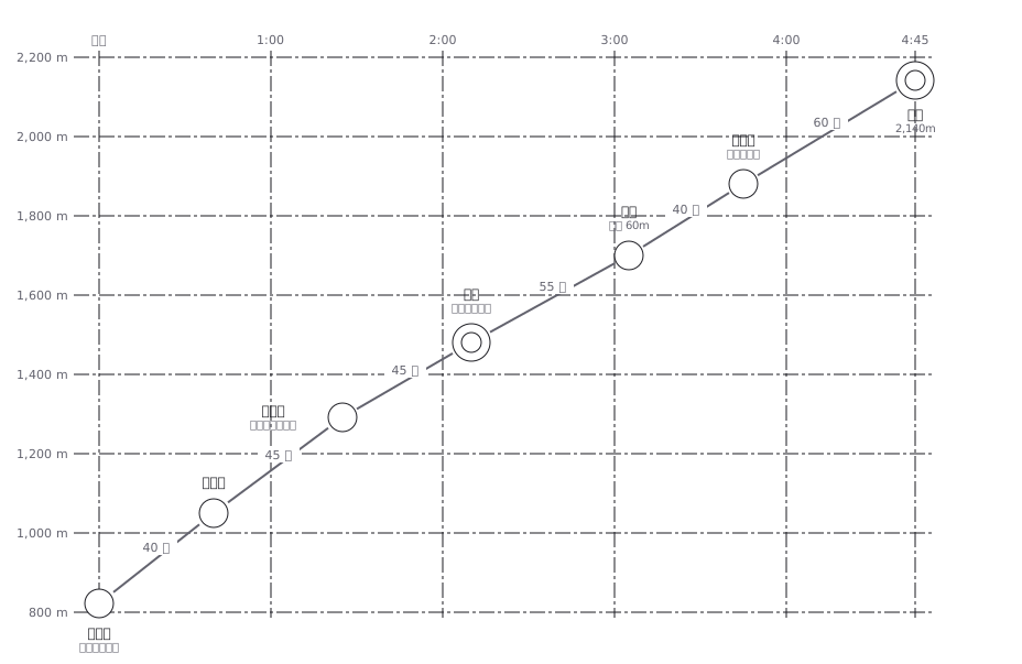 A hiking profile with distance across and elevation up, annotated with how long each section takes to walk