Disaster and emergency
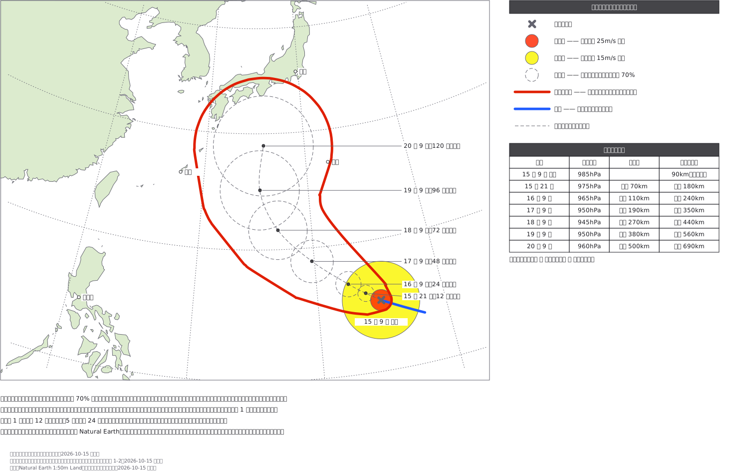
Typhoon track forecast (with coastlines; storm warning area wrapped in one outline; fictional)
Typhoon track forecast (fictional) over the coastlines of Japan and East Asia: the current centre with its storm (red) and gale (yellow) areas, dashed 70% forecast circles out to 120 hours, and the storm warning area drawn as one red line wrapping every forecast circle widened by the storm radius, as JMA draws it.
This drawing comes from one YAML file. No shape was moved by hand.
Notes in the source (in Japanese)
予報円は「中心が入る確率 70%」の範囲。台風が大きくなるという意味ではない。先へ行くほど円が大きいのは、進路がはっきりしないから。
決まり(気象庁「台風経路図の見方」・配色指針 表 1-2)——- いまの中心は ×。暴風域(25m/s 以上)は赤、強風域(15m/s 以上)は黄- 予報円は破線、予報円の中心を結ぶ線も破線。これまでの経路は青の実線- 暴風警戒域は赤の実線で、外側を 1 本の線で囲む- 予報は 1 日先まで 12 時間きざみ、5 日先まで 24 時間きざみ
暴風警戒域の作り方。 中心が予報円のどこへ進んでも暴風域に入るおそれがある範囲なので、各時刻の円を「予報円 + 暴風域の半径」に太らせ、円から円へ中心が動く間に掃く範囲(隣どうしをつないだ先細りのカプセル)の和を取った。その縁を 0 の等値線として 1 本で引いている。見本 183 は時刻ごとの円のままで、この「1 本で包む」が描けていなかった。
円の半径は km で決め、その緯度での縮尺(平射図法なので緯度で変わる)で px にした。陸は Natural Earth 1:50m(パブリックドメイン)。国境は描いていない。台風の位置・気圧・半径はすべて架空。テレビ局の様式は写していない。
Source (YAML)
examples/gallery/392-台風の進路予想図-海岸線と暴風警戒域.zumen.yaml
More in this field
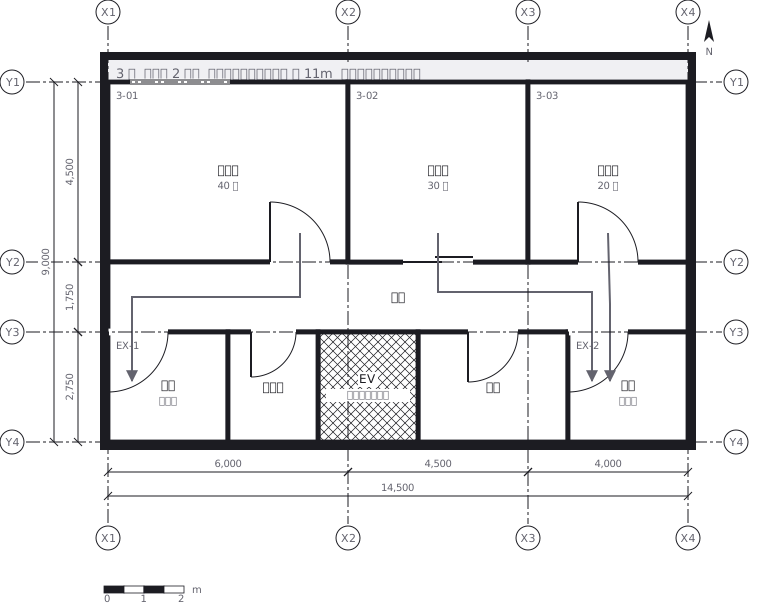 Escape routes on a third floor: two ways out of every room to a staircase, with the travel distance and the fire doors and extinguishers along the way
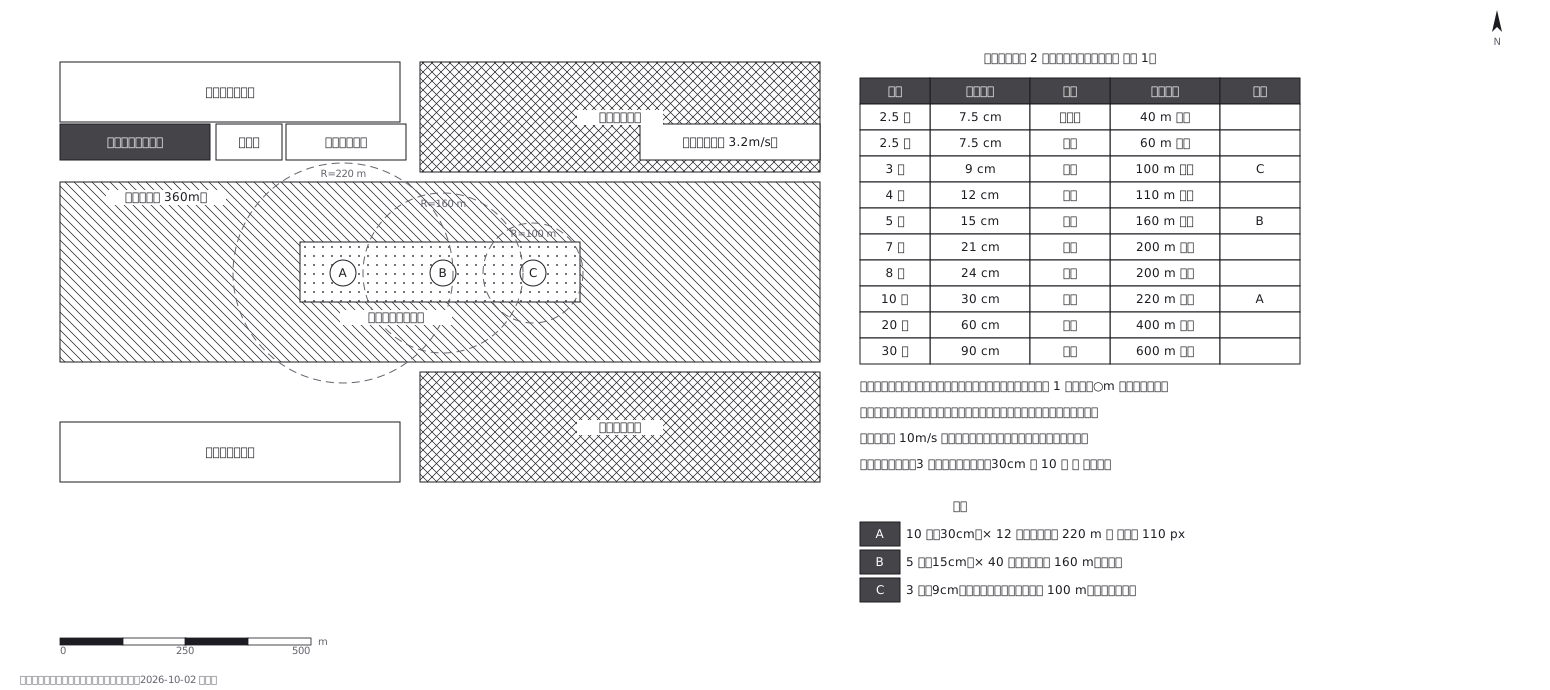 Fireworks safety distances, a circle per shell size
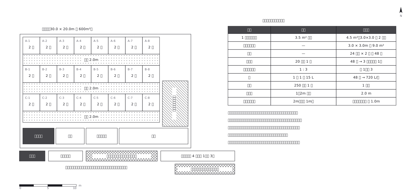 Shelter layout: 3.5 sq m a person, and how many toilets
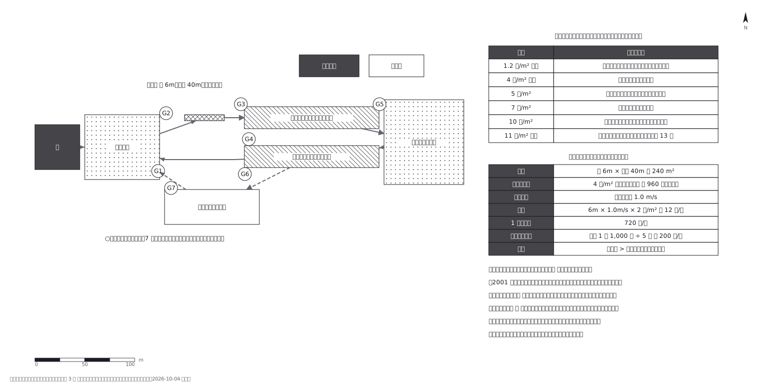 Crowd plan: how many can flow out against how many come in
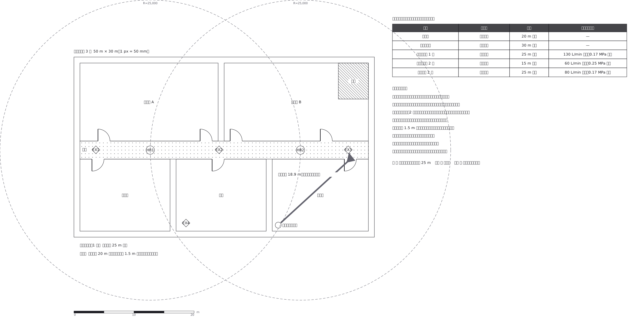 Extinguishers and hose reels, measured two different ways
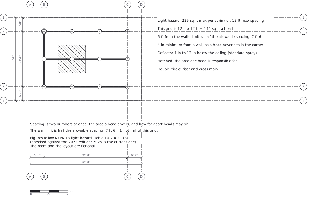 Sprinkler layout: area per head and spacing, decided together
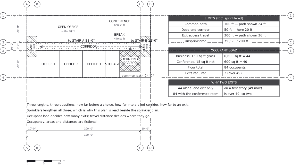 Egress plan: three lengths answering three questions
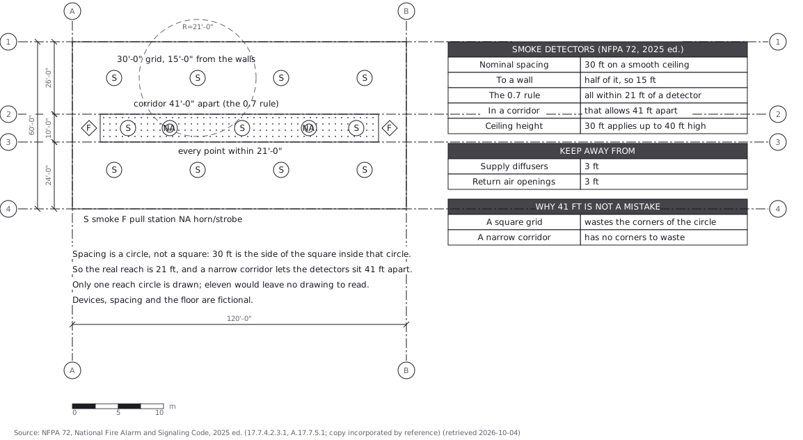 Fire alarm devices: spacing is a circle, not a square