建築・土木
Metes and bounds plat (fictional)
境界の図(土地を絵ではなく「歩き方」で書く)
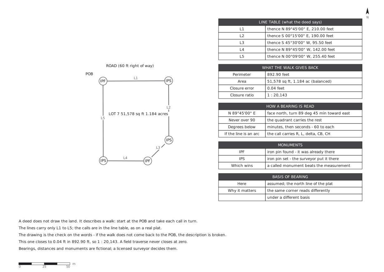
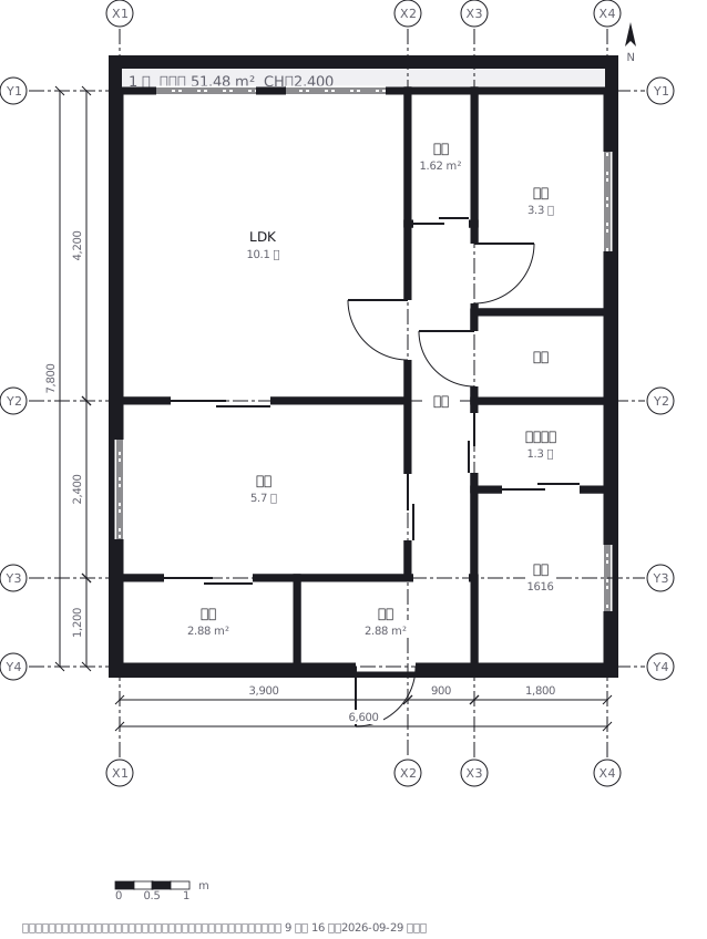
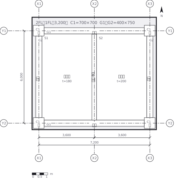
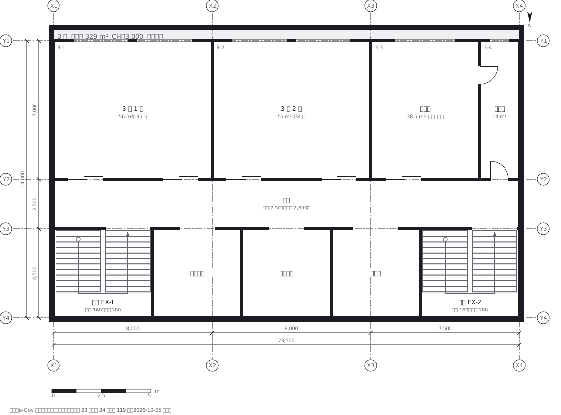
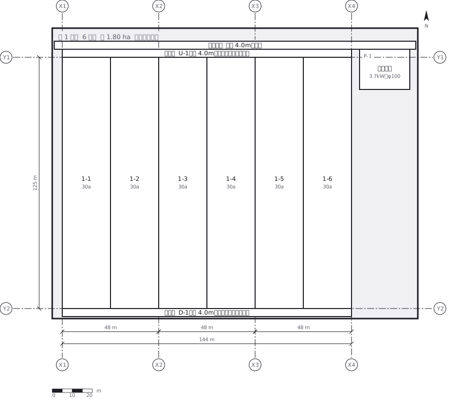
この図は、下の 1 枚の YAML から描かれています。手で図形を動かしてはいません。
正本に書いてある決まりごと
A deed does not draw the land. It describes a walk.
Start at the point of beginning, take each call in turn - a bearing and adistance - and the last one has to bring you back. The drawing is the checkon the words: if the calls do not close, the description is broken.
A bearing is never over 90 degrees. It is read from north or from south,turned toward east or west, so the quadrant letter carries the rest:N 89°45'00" E is "face north, turn 89 degrees 45 minutes toward east".
This parcel closes to 0.04 ft in 892.90 ft (1 : 20,143) because it wascomputed rather than walked. A field traverse never closes at zero - theratio is how a survey says how well it closed.
1 px = 1 ft. Bearings, distances and monuments are fictional.
正本(YAML)
examples/gallery/156-Metes-and-bounds-plat.zumen.yaml